North American Datum

Results: 245


#Item
11NEW MEXICO OFFICE OF THE STATE ENGINEER ATTACHMENT 1 POINT OF DIVERSION DESCRIPTIONS This Attachment is to be completed if more than one (1) point of diversion is described on an Application or Declaration. a. Is this a:

NEW MEXICO OFFICE OF THE STATE ENGINEER ATTACHMENT 1 POINT OF DIVERSION DESCRIPTIONS This Attachment is to be completed if more than one (1) point of diversion is described on an Application or Declaration. a. Is this a:

Add to Reading List

Source URL: www.ose.state.nm.us

Language: English - Date: 2016-02-26 11:51:27
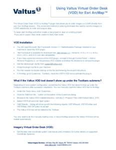
12Using Valtus Virtual Order Desk (VOD) for Esri ArcMap™ The Virtual Order Desk (VOD) is ArcMap™ plugin that allows you to order imagery or LiDAR directly from your Esri ArcMap session. This convenient method of orderi

Using Valtus Virtual Order Desk (VOD) for Esri ArcMap™ The Virtual Order Desk (VOD) is ArcMap™ plugin that allows you to order imagery or LiDAR directly from your Esri ArcMap session. This convenient method of orderi

Add to Reading List

Source URL: www.valtus.com

Language: English - Date: 2013-11-21 13:06:15
13Altitude : Encyclopedia of Geography

Altitude : Encyclopedia of Geography

Add to Reading List

Source URL: www.pdana.com

Language: English - Date: 2014-01-24 17:40:00
14Microsoft Word - Report from the 2015 Geospatial Summit v7

Microsoft Word - Report from the 2015 Geospatial Summit v7

Add to Reading List

Source URL: www.geodesy.noaa.gov

Language: English - Date: 2015-08-04 09:34:53
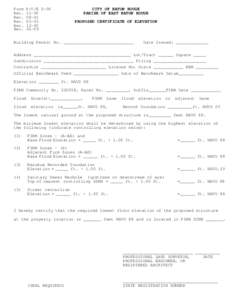
15proposed certificate of elevation

proposed certificate of elevation

Add to Reading List

Source URL: www.brgov.com

Language: English - Date: 2009-06-17 13:38:29
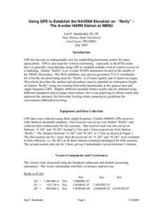
16Measurement / Geophysics / Levelling / North American Vertical Datum / Experience point / Dumpy level / Surveying / Geodesy / Cartography

California Spatial Reference Center Specifications and Procedures for Second Order, Class II Geodetic Leveling to Establish Elevations on CORS

Add to Reading List

Source URL: csrc.ucsd.edu

Language: English - Date: 2014-01-20 15:38:42
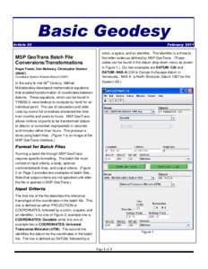
17Basic Geodesy Article 20 FebruaryMSP GeoTrans Batch File

Basic Geodesy Article 20 FebruaryMSP GeoTrans Batch File

Add to Reading List

Source URL: earth-info.nga.mil

Language: English - Date: 2011-02-08 10:14:47
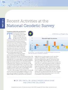
18GNSS-Derived heights study

GNSS-Derived heights study

Add to Reading List

Source URL: www.amerisurv.com

Language: English - Date: 2015-02-27 12:24:44
19Geodesy undergoes a paradiagm shift

Geodesy undergoes a paradiagm shift

Add to Reading List

Source URL: www.globalcogo.com

Language: English - Date: 2006-07-04 20:33:00
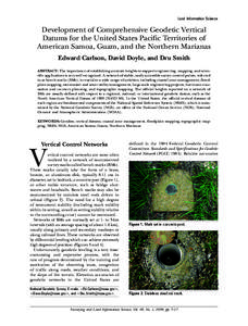
20Land Information Science  Development of Comprehensive Geodetic Vertical Datums for the United States Pacific Territories of American Samoa, Guam, and the Northern Marianas Edward Carlson, David Doyle, and Dru Smith

Land Information Science Development of Comprehensive Geodetic Vertical Datums for the United States Pacific Territories of American Samoa, Guam, and the Northern Marianas Edward Carlson, David Doyle, and Dru Smith

Add to Reading List

Source URL: www.ngs.noaa.gov.

Language: English - Date: 2011-04-14 12:22:00